
by Allan Wall, Mexico News Report, ©2026

(Sep. 11, 2026) — LiDAR stands for Light Detection and Ranging. It uses laser pulses fired from aircraft that bounce off the ground and back to the aircraft, revealing the relief of the ground area being studied. Previous Mexico News Report articles have reported how LiDAR was used in the discovery of a lost Maya city in Campeche state (Valeriana) and in the discovery that the Zapotec fortress of Guiengola was much larger than previously thought.
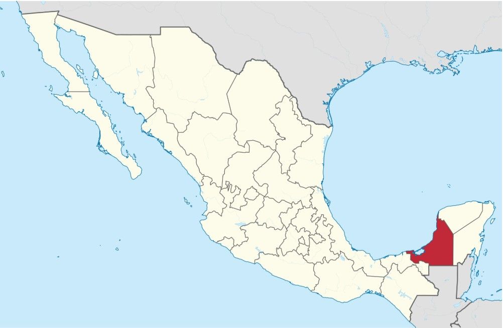
Another archaeological discovery made with LiDAR is the Mayan city of Minanbé, like Valeriana, also in the state of Campeche.
Minanbé, which had been hidden for a millennium, is located in the jungle in the Calakmul Biosphere Reserve.
As reported in Smithsonian Magazine, “No old logging paths lead to this site—unlike others in the jungle—says excavation leader Ivan Šprajc, an archaeologist who specializes in finding ancient Maya sites, in a translated statement from Mexico’s National Institute of Anthropology and History (INAH). It was very difficult to access, he says. Researchers named the place ‘Minanbé,’ a combination of Yucatec Mayan words meaning, roughly, ‘there is no road’.”
Read the rest here.
Leave a Reply